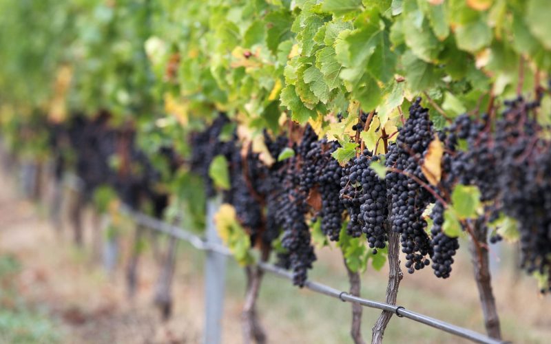
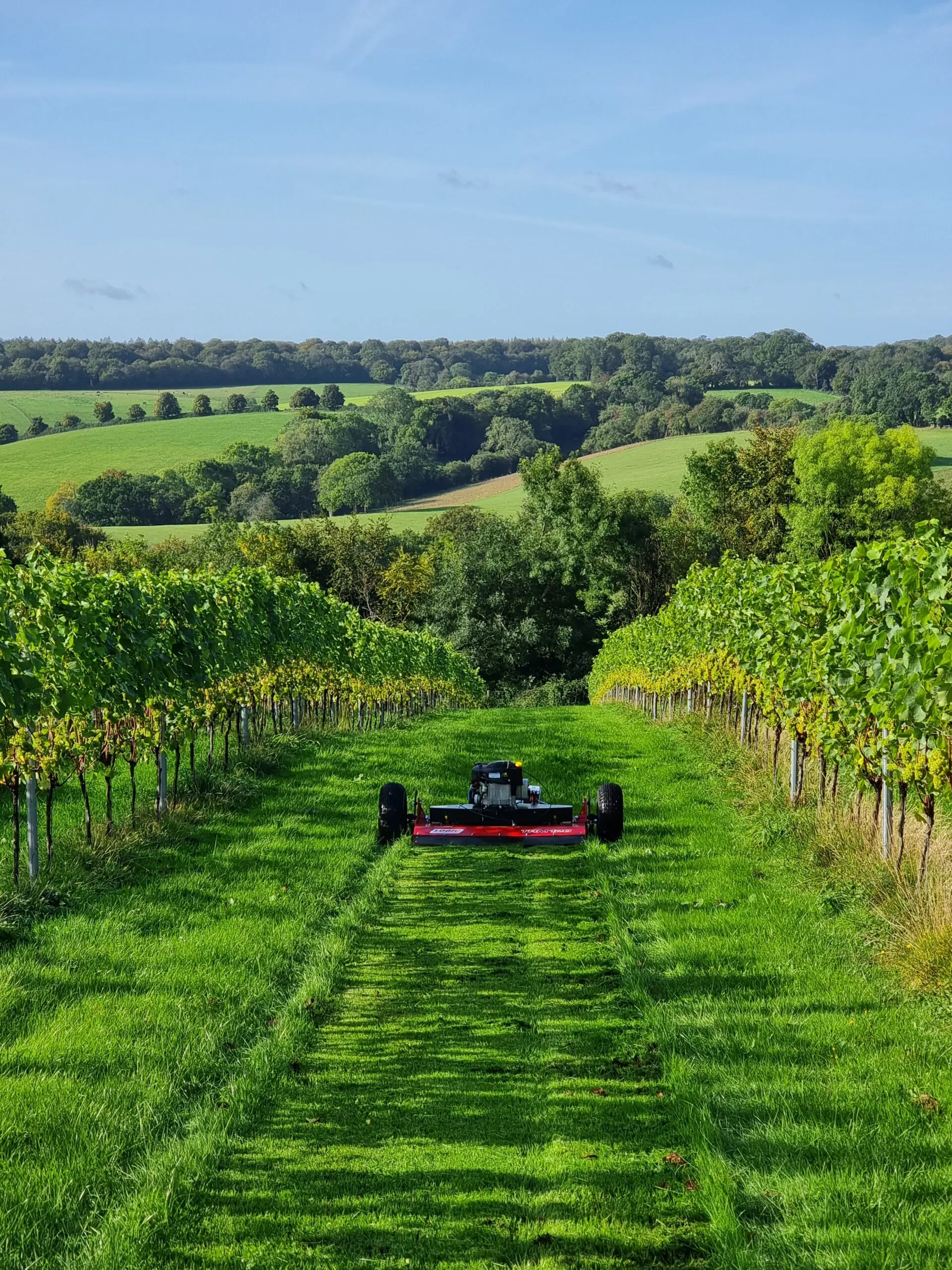
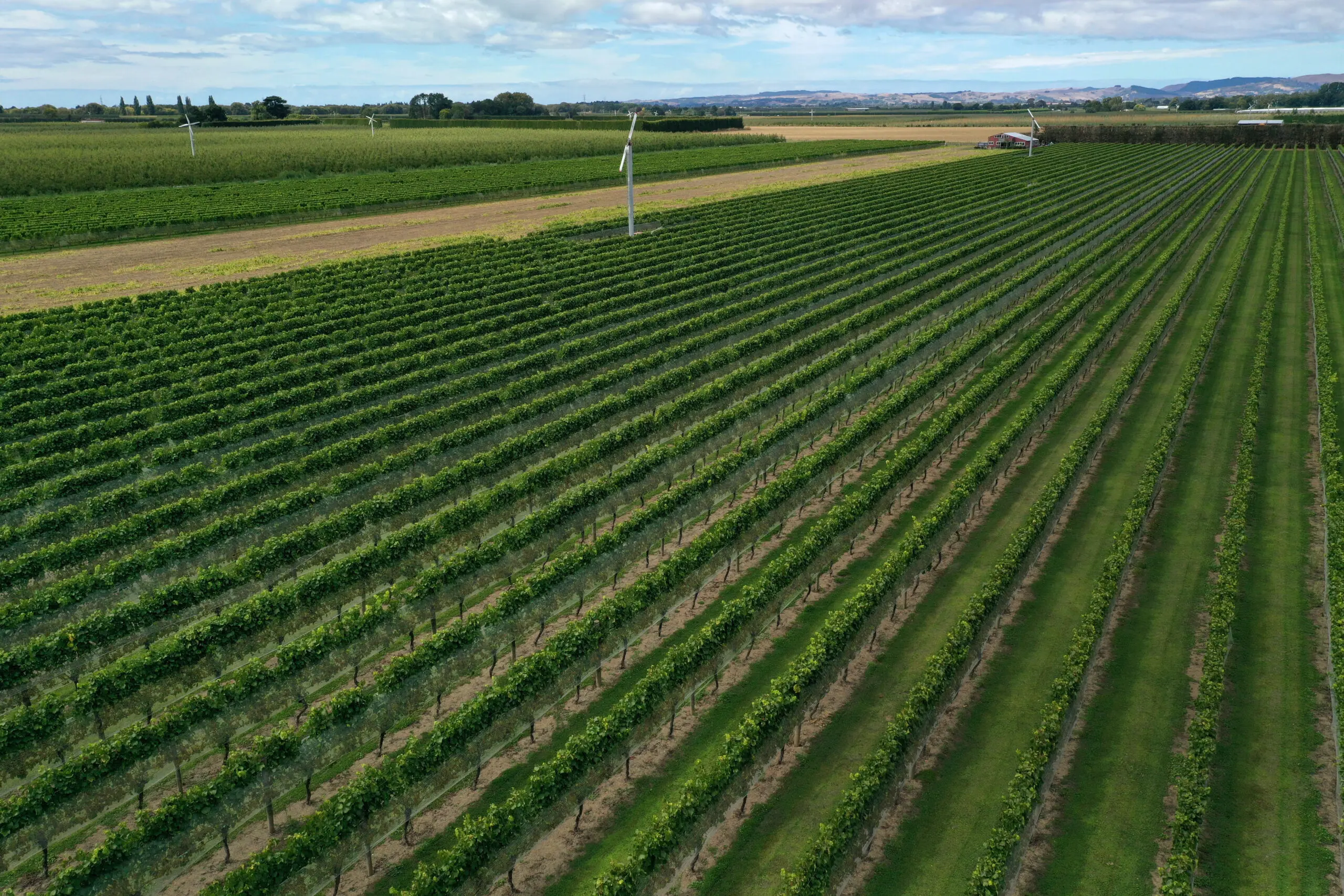
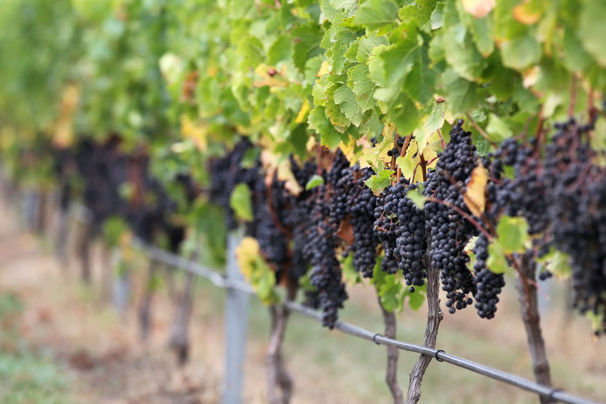
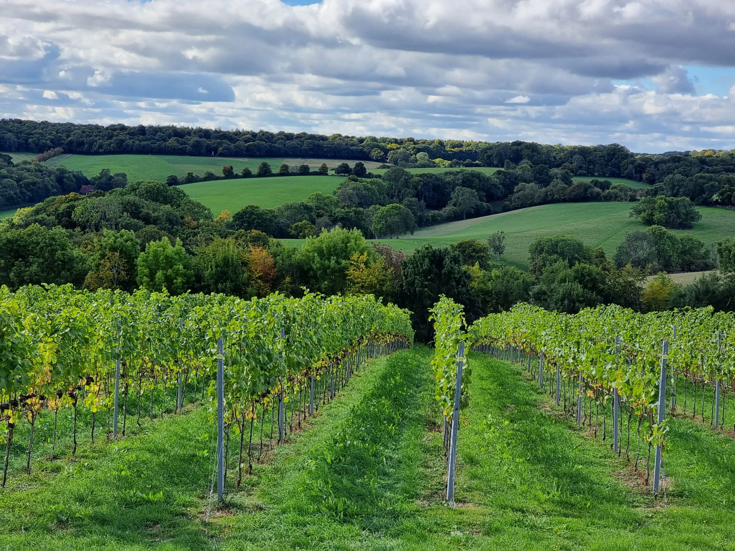
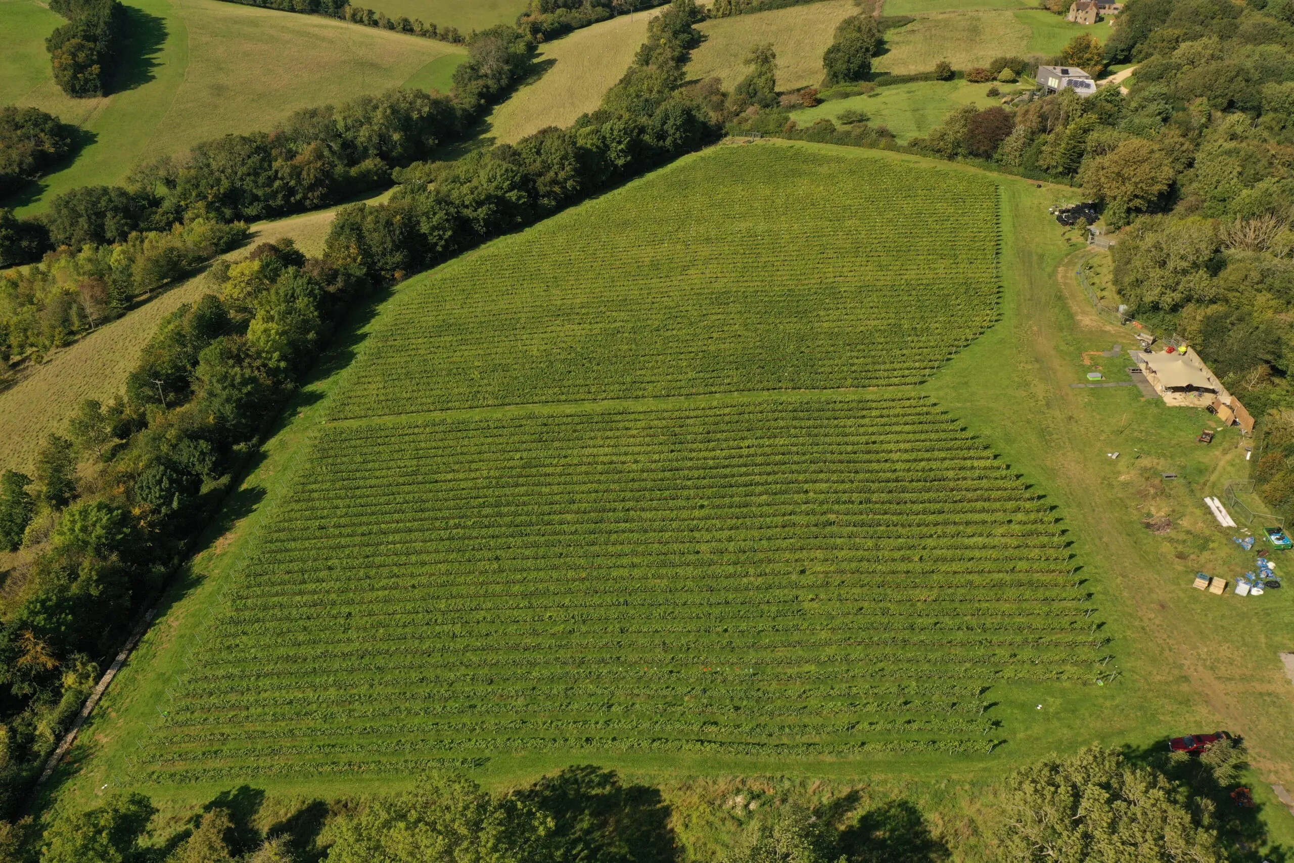
The VISTA Project will create an open standard for digital maps of commercial vineyards. As agriculture embraces precision and data led systems, accurate maps of row and vine locations are becoming an essential part of the modern vineyard.
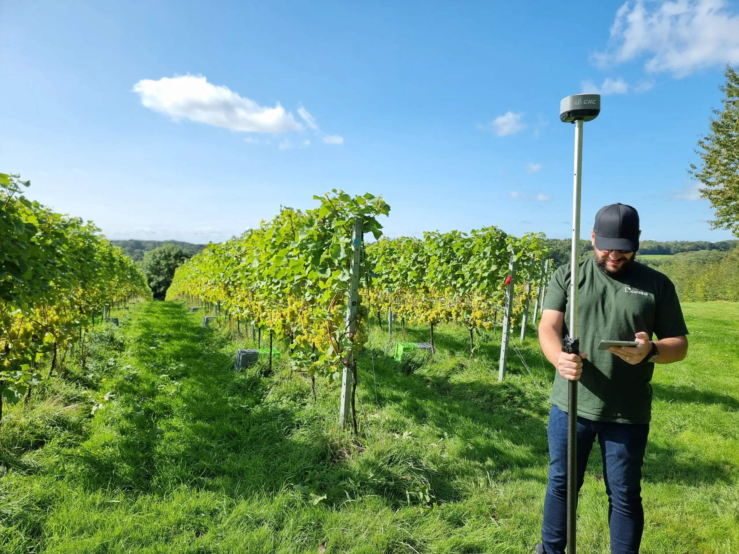
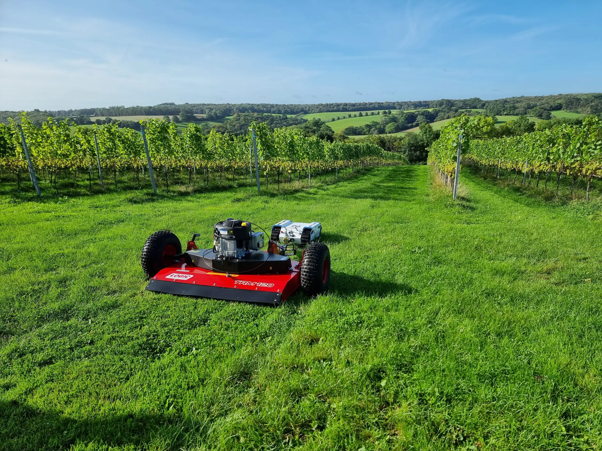
VISTA will start by digitally mapping vineyards to the row and individual vine level. Drone, robot and in-field sensors will be used to monitor climate and weather, crop health, soil moisture, fruit counts and fruit quality, with the VISTA map providing the digital backbone to hold, access and analyse this data.
The VISTA map will be designed to meet the current and future mapping needs of both growers and technology companies, preparing the industry for increased automation.
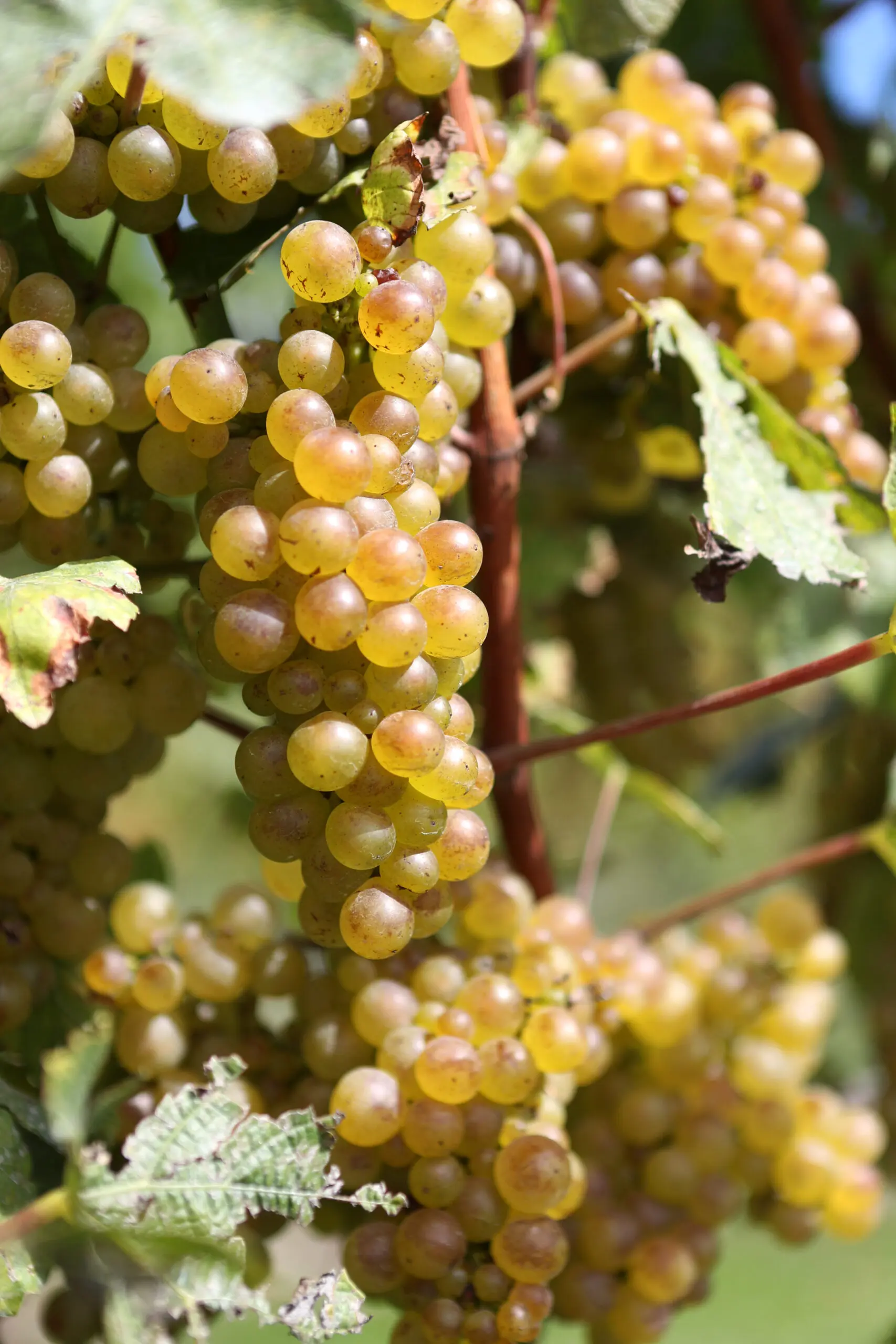
The project will build two example applications of precision farming based on the VISTA map. These applications will tackle two of the most pressing challenges facing the industry: inaccurate methods for estimating harvest yields and the inability to target applications of chemicals and fertilisers. High accuracy maps of fruit counts and crop loads will be used to improve the accuracy of estimates of harvest volumes.
Maps of row and vine locations will be used to create precision application plans for costly chemical agents, so that they can be applied to only the areas of the vineyard that need them.
The VISTA project will build systems to make UK vineyard growers more efficient, more profitable and more sustainable, while providing an open standard that can be adopted in other parts of the world.


")